


Environment
Environment


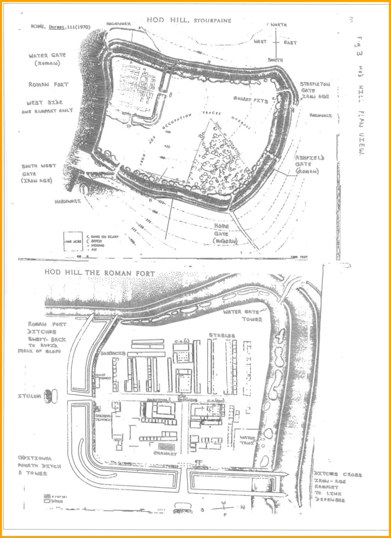
Hod Hill, the Ancient Iron Age Fortress
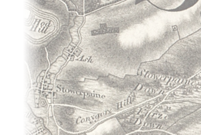
Hod Hill is situated in the parish, north west of the village where it stands modestly beside its supposedly more exalted neighbour, Hambledon . The latter, 200 feet higher and older by centuries than Hod , could also boast that General Wolfe's troops trained on its slopes before going to Canada to storm the Heights of Abraham to defeat the French. On the other hand, Hod has the distinction of extending to an area of 54 acres on its summit compared with Hambledon 's 30 acres and is in fact the largest of Dorset's hill forts. It is also unique in having served as a strategic Roman fort following Vespasian's invasion in AD 43-44 . In the period of 1951-58 , each summer, Professor Sir Ian Richmond carried out large scale excavations for the British Museum. Many artefacts were discovered as Richmond and his student helpers brought the secrets of ancient history to the surface. The top of Hod Hill is now owned by the National Trust .
The River Stour
The River Stour is a 60.5 mile long river which flows through Wiltshire and Dorset and drains into the English Channel. It is sometimes called the Dorset Stour to distinguish it from other rivers of the same name. The source of the river is at Stourhead in Wiltshire where it forms a series of artificial lakes which are part of the Stourhead Estate, owned by the National Trust. It flows south into Dorset through the Blackmore Vale and the towns of Gillingham and Sturminster Newton where it is joined by the River Lydden and at Stourpaine where it is joined by the River Iwerne . At Blandford Forum the river breaks through the chalk ridge of the Dorset Downs, and from there flows south east into the heathlands of South East Dorset. At Wimborne Minster it is joined by the River Allen, and at its estuary at Christchurch it is joined by the Hampshire Avon before it flows into the sea.
Iwerne Brook
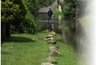
The Iwerne Brook flows through the western part of the Parish to join the River Stour , a little to the south west of the village. Some properties on the western edge of the village are susceptible to flooding from these rivers. See: Hammoon River Station (3306) readings See: Blandford St Mary River Station (3305) readings See: Flooding Our Flood Warden is Derek Gardiner The Environment Agency's Floodline is T: 08459 881 188 Quick dial for the Blandford area: 045121


Stourpaine is our village in the Blackmore Vale in North Dorset, England, on the River Stour

Home | Environment | Community | Businesses | News | Gallery | Contacts | Blog | About ||| < Previous | Next > |||
© G McCavitt


Flood Area and Trailway


Stourpaine Rights of Way (Dorset Explorer)
Liaison Officer: Miss B A Thomson
Useful External Resources