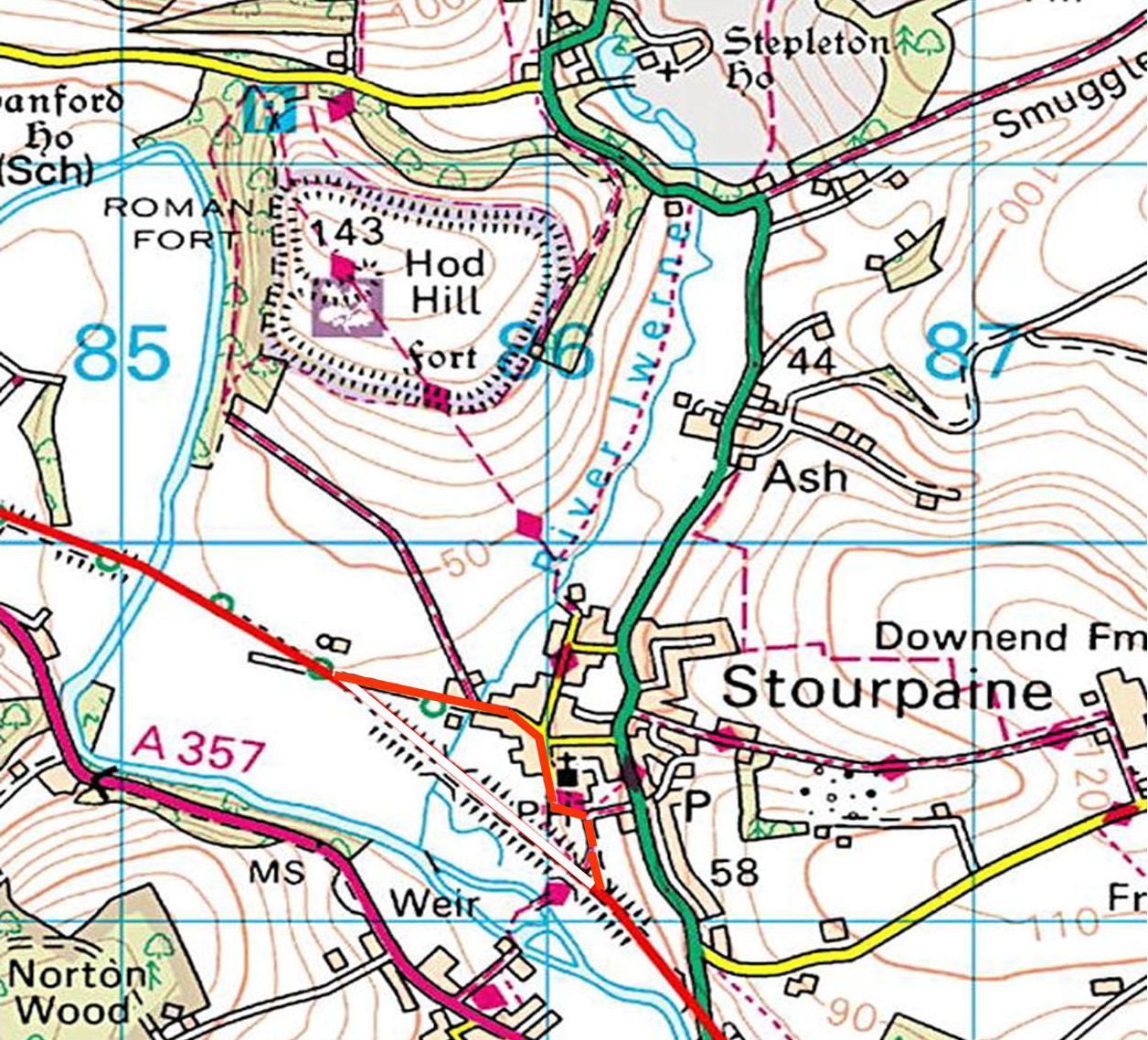
Hod Hill was occupied during the Bronze Age but was abandoned until the Iron Age. Hod Hill is the largest hillfort in Dorset covering 54 acres (22 hectares).
The earth works from both the Iron Age and Roman conquest are still visible. Hod Hill is unusual in Dorset as it has five entrances through the ramparts. Two were created in the Iron Age, two during the Roman conquest and a third from Medieval times. During the Iron Age families lived in round thatched houses, in the southern corner of Hod Hill you can see the hollow circles in the grass that are thought to be the remains of these houses.
Around 44AD, the northwest corner of the hillfort was reused as a military base by the conquering Roman army. The fort built here had three entrance gates each with a watchtower and a platform for artillery.
Excavations of the barrack blocks reveal that a legionary of 600 men and a cavalry unit of 250 were garrisoned here. The fort also had a granary, storehouse, hospital, commander’s house, toilets and a large water tank. Finds from excavations suggest the Romans occupied the fort for about 10 years.

Download a PDF version: Hod Hill Circular Walk


You must be logged in to post a comment.